Inside the Real Stuart Waterfront Lifestyle
February 5, 2026
February 5, 2026
If you picture mornings on the dock with coffee, quick boat rides to lunch, and sunset walks by the river, you’re already imagining Stuart. You want the water to shape your days, not just your weekends, and you want a clear picture of what that life actually looks like. In this guide, you’ll see how the waterfront lifestyle plays out across Stuart’s different areas, plus the boat access, costs, risks and checklists that matter before you buy. Let’s dive in.
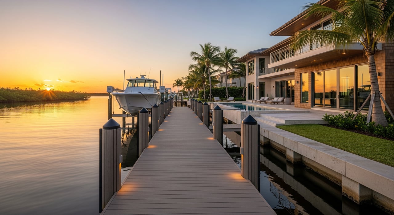
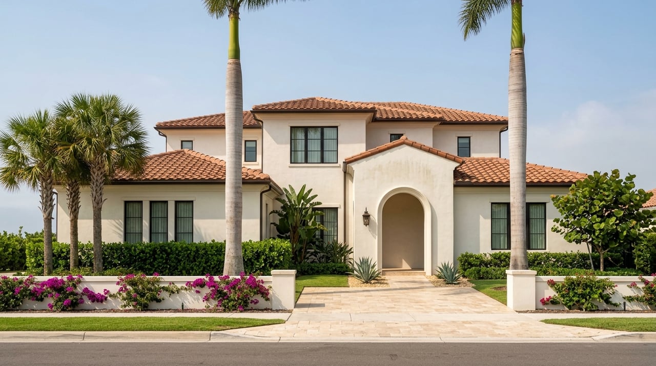
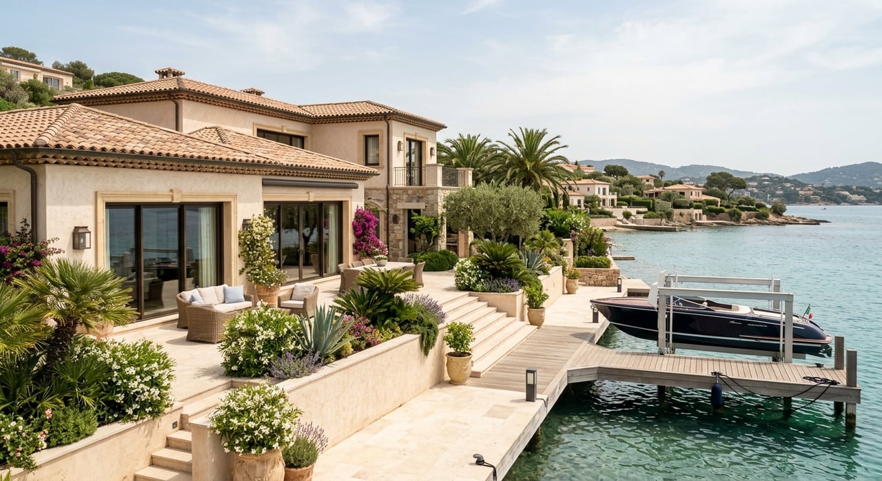
Stuart sits on the St. Lucie River and the Indian River Lagoon, a tidal estuary that links to the Intracoastal Waterway. Just east, Hutchinson Island fronts the Atlantic. This geography creates a mix of canal-front streets, riverfront homes and oceanfront options.
You’ll find day-to-day life centered on boating, fishing, and easy access to water. Stuart is widely known for sportfishing and charter activity, so weekend docks and marinas stay lively. Downtown adds a walkable riverfront scene with dining, events and a riverwalk that keeps you close to the water.
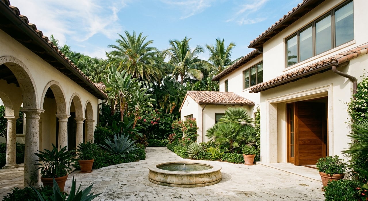
You can live steps from restaurants, riverwalks and marina life. Expect short strolls to coffee, outdoor dining and seasonal events near the water. Many residents keep smaller boats at nearby marinas for quick cruises and inshore fishing.
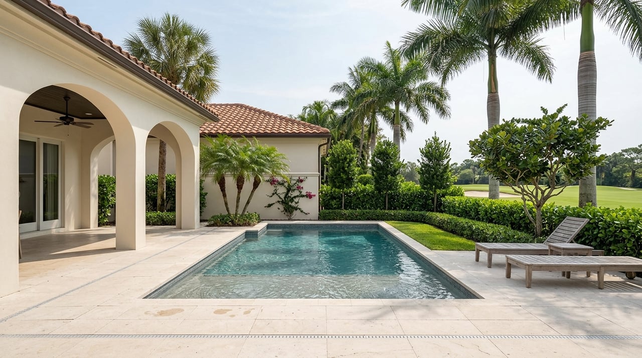
Canal streets feel residential and quiet, with private docks that see daily use. Boats vary from skiffs and center consoles to mid-size vessels, depending on canal width and bridge clearances. The rhythm is simple: fish early, work or relax midday, then a low-key evening on the dock.
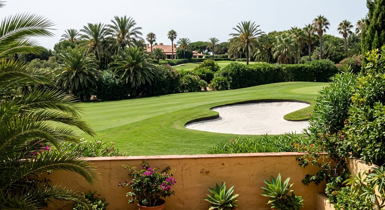
On larger riverfront lots you’ll see deeper-water docks that can suit bigger boats. Privacy and boat-focused living define the pace, whether you’re here year-round or seasonally. Many owners schedule days around tides, fishing windows and short cruises to the inlet.
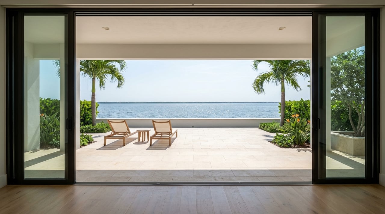
Oceanfront living on the barrier island revolves around beach access and coastal views. Most owners keep larger boats at marinas rather than at-home deepwater docks. Daily life mixes surf and sand time with occasional longer ocean trips.
If you want the water without heavy upkeep, shared docks or marina slips can be a good fit. You get lower-maintenance living with amenities, which is attractive for second-home or part-time use. Boat ownership ranges from small personal craft to slip-based larger vessels.
Stuart’s boating is defined by the St. Lucie River and Indian River Lagoon with ocean access through the St. Lucie Inlet. From many docks, you can reach the inlet in a period that often falls in the tens of minutes, depending on location, canal routing and speed zones. Time varies by vessel speed and the route you need to take.
On canals, navigation depends on width, depth and bridge clearances. No‑wake zones and tidal conditions can affect timing, so plan routes with local charts and knowledge of fixed bridges. If you own a larger boat, confirm draft, beam and height limitations for your specific property.
Waterfront households rely on marinas, boatyards, fuel docks, pump‑out stations and marine mechanics. You’ll also find dock and seawall contractors, insurance partners and hurricane-prep services in regular use.
Stuart’s primary roadways include U.S. 1 and I‑95 in nearby corridors. The Roosevelt Bridge carries U.S. 1 across the St. Lucie River and connects downtown to barrier-island access points. For flights, Palm Beach International Airport is the closest major option, with larger hubs farther south. Local bus service covers parts of Martin County, while regional rail is based in Palm Beach County, not in Stuart.
Peak season typically runs November through April, when seasonal residents and visitors arrive and waterfront activity levels rise. Restaurants, walkable downtown areas and marina slips feel busier. Summer brings heat, humidity and a higher chance of tropical systems, and you may plan boating with extra attention to weather and water quality.
Prices for short-term rentals and marina slips can shift with demand in season. Many owners time maintenance and bigger projects for the shoulder months to avoid peak use periods.
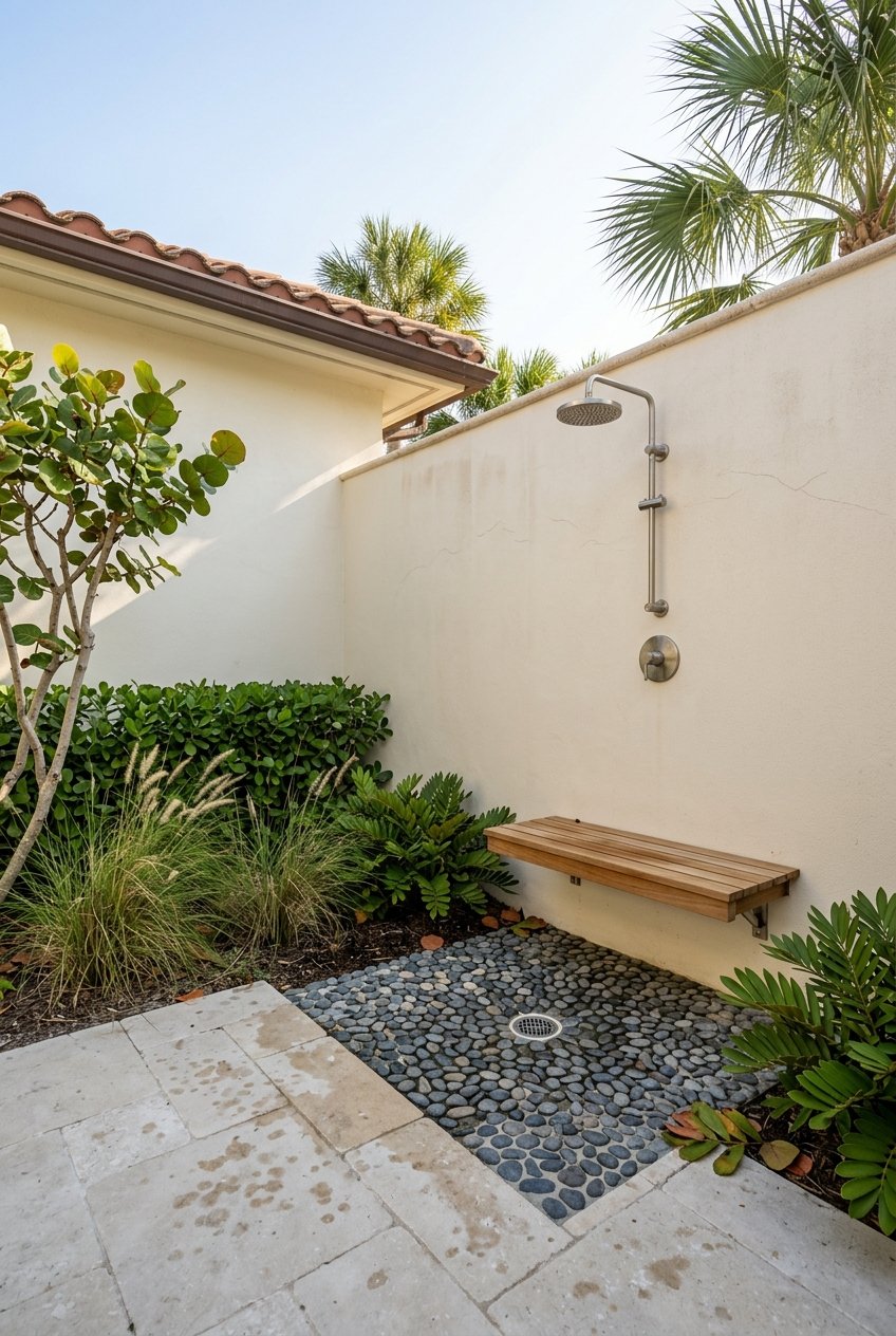
Waterfront ownership includes recurring tasks and line items that are different from inland living. Plan for:
Many Stuart waterfront properties fall within FEMA Special Flood Hazard Areas where lenders commonly require flood insurance. Separate wind or hurricane coverage may apply alongside homeowners insurance. Premiums and deductibles vary by elevation, construction, claims history and insurer market conditions, so budgeting with a margin is smart.
Building and renovation in coastal zones must meet Florida Building Code requirements for wind and flood. Elevated foundations and impact-rated features are common for new builds in higher-risk zones. Hurricane season runs June through November, with most planning centered on preparation, evacuation routes and post-storm readiness.
The Indian River Lagoon has experienced periods of reduced water clarity, seagrass loss and harmful algal blooms linked to nutrient inputs. Conditions can be seasonal and localized, and they may affect fishing, swimming and waterfront aesthetics at times. Restoration, monitoring and septic-to-sewer projects are active across the region, and conditions can improve or worsen year to year.
Long-term sea-level rise is part of regional planning. For owners, this can guide seawall planning, drainage strategies and future insurance or mitigation costs. Reviewing local data and projections for your micro-area is a practical step during due diligence.
Docks, boat lifts, seawalls and other shoreline structures typically require county permits and state authorizations. Larger or more complex projects can need federal approvals. Timelines, costs and environmental constraints vary by site and structure type.
On utilities, some older waterfront streets still use septic systems. Septic-to-sewer conversions exist in parts of Martin County, so it is important to verify sewer availability, any required hookups and related costs. Drainage systems and neighborhood pumps may also require maintenance attention.
Use this quick list to focus your search and due diligence.
Questions to answer before you offer
Inspections and documents to review
Decision tips
If you want walkable dining and marina convenience, focus on the downtown riverfront. If daily dock use matters and you favor a neighborhood feel, canal-front streets may be right. For bigger boats and privacy, look at deeper-water riverfront lots. If beach time outranks dock time, Hutchinson Island oceanfront can be the match with marina-based boating.
When you are ready to compare options side by side, connect with a local advisor who can align your boat, lifestyle and budget with the right shoreline and structure type. For a tailored plan and vetted property list, reach out to Liz Elliott for a private consultation.
Stay up to date on the latest real estate trends.
Get assistance in determining current property value, crafting a competitive offer, writing and negotiating a contract, and much more. Contact me today.